Offers Datalink Weather For Appropriately Equipped Aircraft Flying In And Around Friedrichshafen
Garmin has announced the availability of datalink weather broadcast through a technology demonstration in Friedrichshafen, Germany (EDNY). Using a ground-based Universal Access Transceiver (UAT) that is comprised of Garmin hardware at the EDNY airport, weather information is broadcast and received by aircraft equipped with select Garmin ADS-B In products and displayed on Garmin avionics and portables. For appropriately equipped aircraft, there is no additional cost to receive weather information during this evaluation period, which is expected to end in Q4 of 2019.
“Based on the success of datalink weather in the United States, we are excited to demonstrate affordable datalink weather in Germany and look forward to evaluating the feasibility of this technology in Europe,” said Carl Wolf, vice president of aviation sales and marketing. “We would like to extend our appreciation to the German licensing agencies, as well as airplus maintenance for hosting the station and embracing this technology as we collectively aim to provide pilots with better tools that can aid and improve in-flight decision-making.”
Today, pilots operating within the vicinity of the Friedrichshafen airport with compatible ADS-B In receivers have access to new datalink weather products in Europe. Weather products accessible through this ground station include, radar imagery, METARs, TAFs, lightning, icing and winds aloft. Pilots can expect to receive weather up to 50 nautical miles away from the ground station located at EDNY and weather products will display within a 250 nautical mile coverage area. Reception is also dependent upon line of sight. Through this, Garmin aims to demonstrate the advantages of widely available datalink weather for aircraft operators in Europe.
“AOPA Germany welcomes Garmin’s efforts in Europe. It is obvious that safety in General Aviation should increase if pilots have access to weather information in their cockpits. We know that it has been a significant effort to work in cooperation with the authorities to make the frequencies available, and Garmin has done a great job of explaining the safety case behind it and has succeeded,” said Dr. Michael Erb, senior vice president, AOPA Europe. “We are convinced that the results of the datalink weather demonstration will be positive and that it can serve as a good justification for bringing in-flight weather, as well as traffic and AIS information, into all GA cockpits in Europe.”
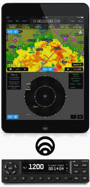
Currently, the system architecture leverages the US-defined FIS-B datalink using UAT technology. Garmin has flight tested the reception of these weather products in a Cessna 182 equipped with a GTX 345 ADS-B transponder, GTN 650/750 navigators, G500 TXi flight display, aera 660/795/796 GPS portables, the GDL 50 portable ADS-B receiver and the Garmin Pilot app on Apple mobile devices. Garmin expects compatibility with additional UAT-based receivers and displays.
These datalink weather products are available immediately for pilots operating in the vicinity of the Friedrichshafen airport in Germany. Pilots who fly into AERO Friedrichshafen in Germany (April 10-13, 2019) and use the new datalink weather products are encouraged to provide feedback at the Garmin exhibit. Pilots can also submit feedback via this website.
(Source: Garmin news release. Image from file)
 Unfortunate... ANN/SportPlane Resource Guide Adds To Cautionary Advisories

