Sun, Feb 09, 2014
USGS Aircraft Will Conduct Low-Altitude Flights In Mid-February
U.S. Geological Survey scientists will conduct a comprehensive, high-resolution airborne survey to study the rock layers under parts of Washington, Franklin and Crawford counties in Missouri in mid-February. Instruments on the helicopter will collect information about the underground geology and mineral deposits of the region. When the data analysis is complete, resulting state-of-the-art maps will help USGS researchers understand the geology and important concealed iron-oxide, copper, cobalt, gold and rare earth element deposits in the area.

"Southeast Missouri is a large mineral resource frontier and an area where Federal science, new scientific techniques and geophysical mapping can make a dramatic difference,” Larry Meinert, USGS Mineral Resources Program Administrator, said in a news release making residents and visitors aware of the flights and their purpose. "This project will let us see beyond the known resources so we can characterize and identify the unknown."
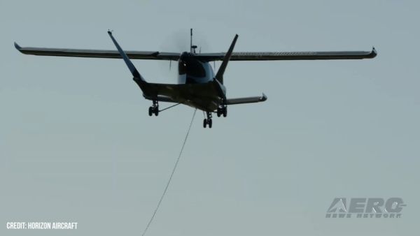
The helicopter will carry auxiliary instrumentation including a frame-mounted stinger that resembles a pole and holds a magnetometer sensor. None of the instruments carried on the aircraft pose a health risk to people or animals.
The aircraft is under contract to the USGS through CGG Canada Services Limited of Ottawa, Canada, and will be operated by experienced pilots who are specially trained and approved for low-level flying. All flights are coordinated with the Federal Aviation Administration to ensure flights are in accordance with U.S. law. The survey will take approximately one and a half weeks to complete.
The survey region contains concealed igneous rocks that are part of the St. François Mountain rock formations. The depth to these rocks range from 984-1640 feet, and are covered by sandstone and dolomite.
The survey will cover approximately 498 square miles and include the Pea Ridge, Kratz Spring and Bourbon iron-oxide deposits. The helicopter will fly from about 262 feet to about 328 feet above the ground and collect the geophysical data along north-south flight lines. All survey flights will occur during daylight hours.
More News
From 2023 (YouTube Version): Legacy of a Titan Robert (Bob) Anderson Hoover was a fighter pilot, test pilot, flight instructor, and air show superstar. More so, Bob Hoover was an i>[...]
Get The Latest in Aviation News NOW on Instagram Are you on Instagram yet? It's been around for a few years, quietly picking up traction mostly thanks to everybody's new obsession >[...]
Aero Linx: B-52H Stratofortress The B-52H Stratofortress is a long-range, heavy bomber that can perform a variety of missions. The bomber is capable of flying at high subsonic spee>[...]
Altimeter Setting The barometric pressure reading used to adjust a pressure altimeter for variations in existing atmospheric pressure or to the standard altimeter setting (29.92).>[...]
"Knowing that we play an active part in bettering people's lives is extremely rewarding. My team and I are very thankful for the opportunity to be here and to help in any way we ca>[...]
 Classic Aero-TV: Remembering Bob Hoover
 ANN FAQ: Follow Us On Instagram!
 ANN's Daily Aero-Linx (05.15.24)
 ANN's Daily Aero-Term (05.15.24):Altimeter Setting
 Aero-News: Quote of the Day (05.16.24)


