Shake Rattle And Roll -- And Reshape And Shift And Change The
Planet's Rotation
NASA scientists using data from the Indonesian earthquake
calculated it affected Earth's rotation, decreased the length of
day, slightly changed the planet's shape, and shifted the North
Pole by centimeters. The earthquake that created the huge tsunami
also changed the Earth's rotation.

Dr. Richard Gross of NASA's Jet Propulsion Laboratory in
Pasadena, CA, and Dr. Benjamin Fong Chao, of NASA's Goddard Space
Flight Center, Greenbelt, MD, said all earthquakes have some affect
on Earth's rotation. It's just they are usually barely
noticeable.
"Any worldly event that involves the movement of mass affects
the Earth's rotation, from seasonal weather down to driving a car,"
Chao said.
Gross and Chao have been routinely calculating earthquakes'
effects in changing the Earth's rotation in both length-of-day as
well as changes in Earth's gravitational field. They also study
changes in polar motion that is shifting the North Pole. The "mean
North pole" was shifted by about 2.5 centimeters (1 inch) in the
direction of 145 degrees East Longitude. This shift east is
continuing a long-term seismic trend identified in previous
studies.

They also found the earthquake decreased the length of day by
2.68 microseconds. Physically this is like a spinning skater
drawing arms closer to the body resulting in a faster spin. The
quake also affected the Earth's shape. They found Earth's
oblateness (flattening on the top and bulging at the equator)
decreased by a small amount. It decreased about one part in 10
billion, continuing the trend of earthquakes making Earth less
oblate.
To make a comparison about the mass that was shifted as a result
of the earthquake, and how it affected the Earth, Chao compares it
to the great Three-Gorge reservoir of China. If filled, the gorge
would hold 40 cubic kilometers (10 trillion gallons) of water. That
shift of mass would increase the length of day by only 0.06
microseconds and make the Earth only very slightly more round in
the middle and flat on the top. It would shift the pole position by
about two centimeters (0.8 inch).
The researchers concluded the Sumatra earthquake caused a length
of day change too small to detect, but it can be calculated. It
also caused an oblateness change barely detectable, and a pole
shift large enough to be possibly identified. They hope to detect
the length of day signal and pole shift when Earth rotation data
from ground based and space-borne position sensors are
reviewed.

The researchers used data from the Harvard University Centroid
Moment Tensor database that catalogs large earthquakes. The data is
calculated in a set of formulas, and the results are reported and
updated on a NASA Web site.
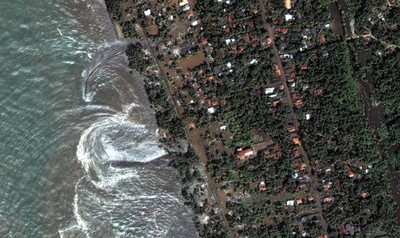
The massive earthquake off the west coast of Indonesia on
December 26, 2004, registered a magnitude of nine on the new
"moment" scale (modified Richter scale) that indicates the size of
earthquakes. It was the fourth largest earthquake in one hundred
years and largest since the 1964 Prince William Sound, Alaska
earthquake.
The devastating mega thrust earthquake occurred as a result of
the India and Burma plates coming together. It was caused by the
release of stresses that developed as the India plate slid beneath
the overriding Burma plate. The fault dislocation, or earthquake,
consisted of a downward sliding of one plate relative to the
overlying plate. The net effect was a slightly more compact Earth.
The India plate began its descent into the mantle at the Sunda
trench that lies west of the earthquake's epicenter.
 ANN's Daily Aero-Term (04.28.24): Airport Marking Aids

