King Air Impacted The Flight Safety International Building, Four Fatally Injured
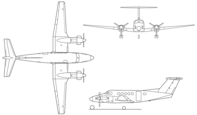
The NTSB has released its preliminary report from an accident involving a King Air B200 which impacted the Flight Safety International (FSI) building located on the airport after departure from the Wichita Mid-Continent Airport (KICT), Wichita, Kansas.
The accident occurred October 30th at 0948 CDT. According to the report, the pilot, who was the sole occupant of the airplane, was fatally injured and the King Air was destroyed. Three building occupants were fatally injured, 2 occupants sustained serious injuries and four occupants sustained minor injuries. The airplane was registered to and operated by Gilleland Aviation, Inc., Georgetown, Texas, under the provisions of 14 Code of Federal Regulations Part 91 as a business flight. Visual meteorological conditions prevailed and an instrument flight rules (IFR) flight plan was filed. The flight originated at 0947 and was en route to the Mena Intermountain Municipal Airport (KMEZ), Mena, Arkansas.
According to the air traffic control (ATC) recordings, at 0947:06, the airplane departed runway 1R and was instructed by the controller to fly runway heading. At 0948:17, the pilot declared an emergency and stated that he "lost the left engine."
According to witnesses on the ground, after the airplane departed runway 1R, a left turn was initiated and the airplane's altitude was estimated less than 150 feet above the ground. One witness observed the airplane shortly after it became airborne and heard a reduction in power on one engine before it entered the left turn. Another witness saw the airplane from about 20 yards away. He said the airplane was in a left turn and approached the hangars east of FSI, then the wings were level as it flew west toward FSI. The airplane's landing gear were "down and locked", the flaps were extended, the rudder was neutral, and the right engine was at full power. The witness did not see the left engine. The airplane then disappeared from his view and he heard the sound of an impact. Another witness observed the airplane in its final seconds before it impacted the FSI building. He said the airplane was on a heading of 240 degrees and was in a "gradual" descending left turn. He thought the airplane was going to
land on the west runway, but then it collided with the northeast corner of the FSI building. The witness said the landing gear were extended and both propellers were rotating, but he could not determine at what power setting. He said the airplane's left engine struck the building first just below the roof line, followed by the outboard section of the left wing. When the wing impacted the building it separated and the airplane rolled to about 70 degrees bank angle. The nose of the airplane struck the roof of the building and the airplane slid for about 20-30 feet before the tail section came over the top of the airplane followed by a large explosion. A postimpact fire ensued.

Surveillance video from the surrounding buildings was obtained and will be reviewed.
The airplane was equipped with a Fairchild Model A100S cockpit voice recorder (CVR). The unit was removed from the wreckage and sent to the National Transportation Safety Board (NTSB) Vehicle Recorder Laboratory for download.
The airplane was equipped with two Sandel ST3400 Terrain Awareness and Warning System / Radio Magnetic Indicator (TAWS/RMI) units. These units were retained by the NTSB and will be examined for recorded flight data.
At 0953, the automated weather observation at KICT reported wind from 350 degrees and 16 knots, 10 miles of visibility, a few clouds at 15,000 feet, temperature 59° Fahrenheit (F), dew point 37° F, and altimeter setting 30.12 inches of mercury.
The wreckage has been retained for further examination.
(Image from file)
 ANN's Daily Aero-Term (05.17.24): Very High Frequency

