Thu, Aug 17, 2017
Designed Primarily For Use By Public Safety Agencies
CompassDrone is set to unveil a comprehensive drone-based mapping program designed specifically for Public Safety applications. The Complete Incident Response Recovery Unmanned Aerial System (CIRRUAS) program is designed primarily for Accident Reconstruction and Crime Scene Mapping, but is also applicable to Search & Rescue and Reconnaissance missions.
"CIRRUAS was designed by law enforcement for law enforcement to meet their unique mapping and data collection needs," said CompassDrone Vice President Hayden Howard. "The result is a complete drone program comprising all the hardware, software and training they need to deploy drones in their daily operations."
CompassDrone will showcase and demonstrate the CIRRUAS solution at the 2017 APCO Conference & Exhibition being held through August 16 in Denver.
"We designed CIRRUAS to make data collection safer, faster and more accurate for public safety officers," said Howard. "The program is an affordable, all-inclusive solution for mapping with unmanned aerial systems."
The CIRRUAS package contains everything needed for public safety personnel to quickly and accurately map an accident or crime scene for 3D reconstruction or evidence preservation purposes. Different CIRRUAS packages are offered, but each contains multiple DJI drones -- the best-selling unmanned aerial systems in the world -- software, and Part 107 commercial flight training.
"The DJI drones selected for this package capture imagery of sufficient quality for the 3D photogrammetric mapping required for accident reconstruction and crime scene visualization," said Howard. "Every CIRRUAS package is backed up with ongoing technical and applications support by CompassDrone personnel."
The Elbert County, Colorado, Sheriff's Department is among the first to participate in the program. The department's Lt. Patrick Cillo said, "It's an extremely comprehensive program."
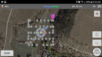
(Source: CompassDrone news release. Screenshot Courtesy CompassDrone website)
More News
Airport Marking Aids Markings used on runway and taxiway surfaces to identify a specific runway, a runway threshold, a centerline, a hold line, etc. A runway should be marked in ac>[...]
"It is extremely difficult, if not impossible, for manned aircraft to see a drone while conducting crop-enhancing and other aerial applications at low altitudes and high speeds. We>[...]
Aero Linx: The Skyhawk Association The Skyhawk Association is a non-profit organization founded by former Skyhawk Pilots which is open to anyone with an affinity for the A-4 Skyhaw>[...]
“The T-54A benefits from an active Beechcraft King Air assembly line in Wichita, Kansas, where all required METS avionics and interior modifications are installed on the line>[...]
Aero Linx: Aerostar Owners Association The Association offers the Aerostar Owner a unique opportunity to tap an invaluable source of information concerning the care and feeding of >[...]
 ANN's Daily Aero-Term (04.28.24): Airport Marking Aids

