Fri, Mar 07, 2014
Used For Natural Resource Management, Media, Construction And Development
According to a new market report "Aerial Imaging Market - Global Industry Analysis, Size, Share, Growth, Trends, and Forecast, 2013 - 2019," published by Transparency Market Research, the market for aerial imaging globally is forecast to reach $1.994 billion by 2019. The market growth is driven by increased demand from applications such as natural resource management and construction & development. Real estate, urban planning and insurance are emerging as potential applications for aerial imagery and related services.
Globally, the aerial imaging market was valued at $869.2 million in 2012 and is forecast to grow at 12.8% CAGR (Compound Annual Growth Rate) from 2013 - 2019. Aerial imaging has been widely adopted across several end-use verticals such as commercial enterprises, government, civil engineering industry, forestry & agriculture, and energy sectors, among others. Among all, highest revenue share was contributed by the government sector in 2012, which together with commercial enterprises and forestry and agriculture, accounted for more than 50% of revenue share. Government organizations worldwide are progressively using aerial imagery and related services for numerous purposes such as homeland security, urban planning, energy sector management, and monitor environmental changes among others.
Aerial imagery and surveys are used for natural resources management, media & entertainment, construction & development, and 'conservation, research and study' among others. Construction & development, geospatial technology, and natural resource management are emerging as promising applications for aerial imaging industry. These three segments together accounted for 52.2% of market revenue share in 2012. Geographically, North America is expected to remain largest market for aerial imagery owing to the fast growing unmanned aerial vehicle (UAS) photography in this region. North America and Europe had collective revenue share of 80.1% in 2012.
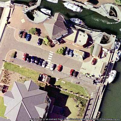
(Image from file)
More News
Airport Marking Aids Markings used on runway and taxiway surfaces to identify a specific runway, a runway threshold, a centerline, a hold line, etc. A runway should be marked in ac>[...]
"It is extremely difficult, if not impossible, for manned aircraft to see a drone while conducting crop-enhancing and other aerial applications at low altitudes and high speeds. We>[...]
Aero Linx: The Skyhawk Association The Skyhawk Association is a non-profit organization founded by former Skyhawk Pilots which is open to anyone with an affinity for the A-4 Skyhaw>[...]
“The T-54A benefits from an active Beechcraft King Air assembly line in Wichita, Kansas, where all required METS avionics and interior modifications are installed on the line>[...]
Aero Linx: Aerostar Owners Association The Association offers the Aerostar Owner a unique opportunity to tap an invaluable source of information concerning the care and feeding of >[...]
 ANN's Daily Aero-Term (04.28.24): Airport Marking Aids

