Mon, Jul 23, 2012
Combines LiDAR With Hi-Res Aerial Photography
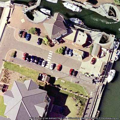
Leicestershire (UK) aerial surveying company Bluesky has purchased and airborne system that combines laser mapping with high resolution aerial photography and infrared image capture. The system allows high precision mapping of the land and cities in 3D together with aerial image capture and a thermal mapping capability to measure heat loss from buildings.

The laser mapping known as LiDAR (Light Imaging Detection and Ranging) system uses aircraft mounted lasers to accurately determine the distance between the sensor and the ground or other targets such as buildings and vegetation.
The integrated three-sensor system has been developed by Canadian company Optech. Specifically designed to offer a cost effective, high performance solution at mid altitudes, the Optech Orion M300 is ideally suited for applications such as electricity transmission network mapping, transport infrastructure modelling and environmental monitoring such as flood risk analysis and forestry management. It will also enable Bluesky to capture highly accurate 3D measurements from which to create special maps such as their UK-wide solar potential map and 3D city models.
The thermal sensor records infrared measurements and will be used for identifying heat loss from buildings and monitoring pipelines. It can be used simultaneously with the LiDAR or independently. In addition the ultra-high resolution digital camera captures images of the target sites and again can be used simultaneously with the other two sensors providing customers with a wealth of coincident information for their area of interest; a complete solution and substantial acquisition savings.
"There is an increasing demand for high tech aerial surveying as it provides a rapid way to accurately map infrastructure, floodplains and urban areas. The new technology we are bringing to the UK is the most advanced yet and will benefit our customers that include utilities, developers and government." commented Rachel Tidmarsh, Managing Director of Bluesky International. "This significant investment will give us a key advantage here and overseas, providing an important platform for business growth."
More News
Airport Rotating Beacon A visual NAVAID operated at many airports. At civil airports, alternating white and green flashes indicate the location of the airport. At military airports>[...]
Aero Linx: Fly for the Culture Fly For the Culture, Inc. is a 501(c)(3) non-profit organization that serves young people interested in pursuing professions in the aviation industry>[...]
Klyde Is Having Some Issues Comprehending The Fed's Priorities FMI: www.klydemorris.com>[...]
Also: Viasat-uAvionix, UL94 Fuel Investigation, AF Materiel Command, NTSB Safety Alert Norges Luftsportforbund chose Aura Aero's little 2-seater in electric trim for their next gli>[...]
Also: EP Systems' Battery, Boeing SAF, Repeat TBM 960 Order, Japan Coast Guard H225 Buy Despite nearly 100 complaints totaling millions of dollars of potential fraud, combined with>[...]
 ANN's Daily Aero-Term (04.25.24): Airport Rotating Beacon

