Wed, Dec 14, 2011
Initial Findings Indicate A Normal Flight Until Just Before The
Helicopter Went Down
The NTSB has issued its preliminary report in the helicopter
accident on December 7th east of Las Vegas in which a pilot and
four passengers on a sightseeing flight were fatally injured. Radar
tracking data shows that aircraft deviated from what was considered
the normal route for such flights about a minute before it went
down in very rugged terrain near Hoover Dam.
NTSB Identification: DCA12MA020
Nonscheduled 14 CFR Part 135: Air Taxi & Commuter
Accident occurred Wednesday, December 07, 2011 in Las Vegas,
NV
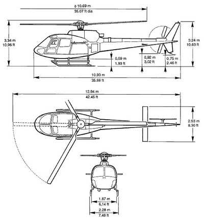
Aircraft: EUROCOPTER FRANCE AS350B2, registration: N37SH
Injuries: 5 Fatal.
This is preliminary information, subject to change, and may
contain errors. Any errors in this report will be corrected when
the final report has been completed.
On December 7, 2011 at 1630 Pacific Standard Time, a Eurocopter
AS350-B2, registration N37SH, operated by Sundance Helicopters as
flight Landmark 57, crashed in mountainous terrain approximately 14
miles east of Las Vegas, Nevada. The 14 CFR Part 135 flight was a
tourist sightseeing flight, which departed from Las Vegas McCarren
International Airport (LAS), Las Vegas, NV, intending to fly to the
Hoover Dam area and return to LAS, operating under visual flight
rules. The helicopter impacted in a narrow ravine in mountainous
terrain between the city of Henderson and Lake Mead. The pilot and
four passengers were fatally injured, and the helicopter was
substantially damaged by impact forces and post-crash fire. Weather
was reported as clear with good visibility and dusk light
conditions.
Radar data obtained from the FAA show that the helicopter
departed LAS and followed a normal route of flight easterly out of
the LAS airport traffic area, then turned to the southeast toward
Hoover Dam. Tour routings are standardized for all the area tour
operators. The helicopter was level at 3,500 feet mean sea level
(MSL) at approximately 120 knots. About one minute prior to the
accident, the radar indicated the helicopter climbed to 4,100 feet
MSL and turned about 90 degrees to the left. The left turn and
climb are not part of the normal route. Radar then indicated the
helicopter descended to 3,300 feet MSL and tracked a northeasterly
course for about 20 seconds, until entering a left turn then a
descent. The last radar target received was about 1/8 miles from
the accident site.
More News
Aero Linx: Model Aeronautical Association of Australia MAAA clubs are about fun flying, camaraderie and community. For over 75 years, the MAAA has been Australia’s largest fl>[...]
Touchdown Zone Lighting Two rows of transverse light bars located symmetrically about the runway centerline normally at 100 foot intervals. The basic system extends 3,000 feet alon>[...]
“Discovery and innovation are central to our mission at Virgin Galactic. We’re excited to build on our successful record of facilitating scientific experiments in subor>[...]
How To Get A Story On Aero-TV News/Feature Programming How do I submit a story idea or lead to Aero-TV? If you would like to submit a story idea or lead, please contact Jim Campbel>[...]
Student Pilot Reported That During Rotation, “All Of A Sudden The Back Of The Plane Kicked To The Right..." Analysis: The student pilot reported that during rotation, “>[...]
 ANN's Daily Aero-Linx (05.02.24)

